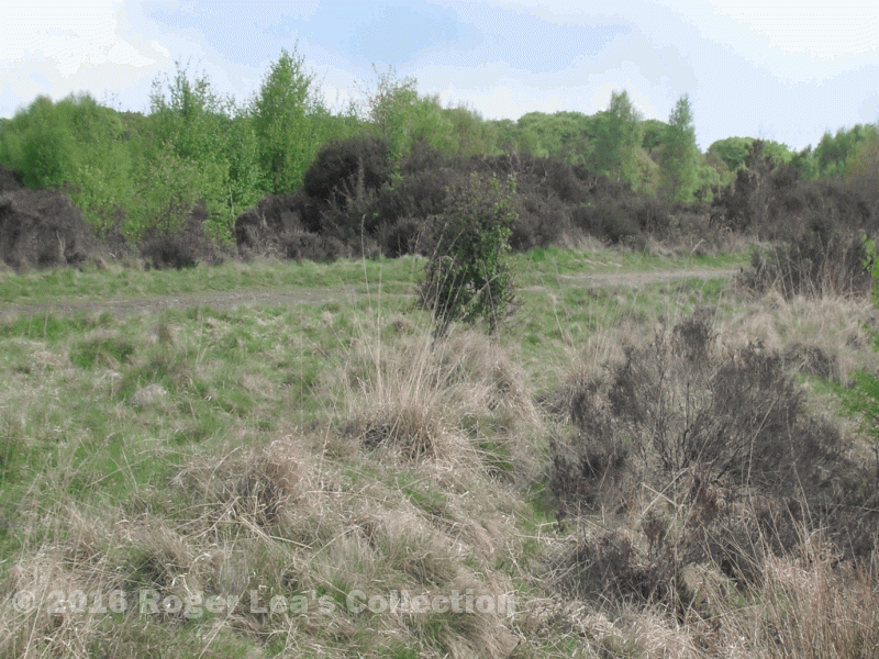
Until 1812 the Roman road in Sutton Park had been the parish and county boundary, the part of the park to the west of Icknield Street being in Great Barr. When the commons of Great Barr and Little Aston were enclosed in 1812, this part of the park was regarded as part of the commons of Great Barr. However, the Warden and Society of the Royal Town wished to retain the boundaries of Sutton Park, which they did by offering up an equivalent area of common land. They gave a strip of land, part of Four Oaks Common, between Streetly Lane and Clarence Road to the hamlet of Little Aston in the neighbouring parish of Shenstone (where the commons were also being enclosed), and Little Aston gave up a similar amount of its commons to Great Barr. (The boundary was changed back to Rosemary Hill Road in the twentieth century.)
In 1824 Mr. Harris the Commissioner for Enclosure of Sutton followed this new boundary along Sutton Park park fence from Chester Road as far as Streetly Lane. The boundary, now bordering Little Aston, had been marked twelve years previously by some white posts and white stones, but in 1824 the perambulation was able to follow the hedges and fences marking the edges of the newly-made fields on the Little Aston side - the boundary was roughly half-way between Jervis Cresent and Park View Road. On the Sutton side of this boundary lay the extensive Four Oaks Common, a remaining fragment of the huge Coldfield Waste, which once extended as far as Barr Beacon. When Mr. Harris finished his perambulation his next task was to set out roads across the commons, including Edge Hill Road, originally known as Coldfield Lane.
Rejoining Blake Street after skirting Hill Hook, Mr.Harris crossed a bridge over the brook, and passed by the Black Cock Public House (the Blake Barns P.H. is on the site of this old pub). The Oslet Field, part of the extensive Hill Commons lay on the Sutton side of this part of Blake Street, which formed the boundary as far as “that place in the turnpike road from Sutton Coldfield to Lichfield which is called Watford Gap”.
