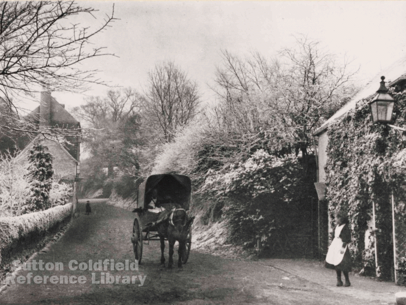
The prehistoric inhabitants of England needed various products for their survival, one of which was salt. Packhorses carried salt from the production areas to places all over the country, following tracks that are now referred to as salt ways. The Imperial Gazetteer of England and Wales of 1872 described the Salt Way as “an ancient Roman Road, from the coast of Hampshire, northward through Worcestershire and Warwickshire, to some point on the north coast”, passing Droitwich where there were large salt works, and north through Birmingham. It followed the course of Lichfield Road, crossing the River Tame at Salford Bridge, as far as Maney, where it diverged to the line of Somerville Road, crossing the valley on a causeway, then approximately following Richmond Road to Mulroy Road where it forked, one branch going north to Lichfield and Derby, the other east to Tamworth and Leicester.
This account is pure conjecture, but it is supported by a local placename, Wyndley, which can be interpreted as “Place by the salt way”. Wyndley was probably a settlement of some kind a thousand years ago. A document of 1308 giving the ancient customs of the Manor of Sutton refers to the lord of the manor’s tenants at “Maney, Windley and Wigula (i.e. The Wylde or Wylde Green), and in 1416 one of the districts of Sutton is called “Maney and Wyndeley”. If there was such a settlement it has long since gone, perhaps abandoned at the time of the Black Death (1348), or even displaced in 1100 when Sutton Park was created, leaving the name behind, applied to Wyndley Pool the surrounding area.
Some field names recorded in the 1824 Corn Rent schedule give a hint of the ancient geography. In 1824 Wyndley Close was a large field where Braemar Road is now, possibly part of one of the open fields of Maney - in 1433 William Fletcher was paying rent for “an acre of arable in Overwindelefeld” Over Wyndley Field, the field above Wyndley, lay between Jockey Road and Wyndley Pool, probably overlooking the former settlement of Wyndley. In 1824 a field just south of Wyndley Pool and north of Monmouth Drive bore the name Squadge Hill, no doubt a corruption of the “Wyndeleyqweche” of 1433.
The speculative conclusion, impossible to prove, is that a small early Saxon settlement grew up in a place next to a prehistoric salt way, only to be displaced when the Earl of Mercia set up his hunting lodge on Manor Hill. The name Wyndley survived, and is now once again firmly established with its pool, swimming baths, and leisure centre.
